Maps & Planning Resources
Whether you’re a resident, business owner, developer, or visitor, these maps offer detailed insights into the land, infrastructure, and future vision of our community.
Zoning Map
A zoning map displays the official zoning districts within the Village of Elida and outlines which land uses are allowed in each area.

Regional Map
A general overview of the Village of Elida and the surrounding Allen County region.

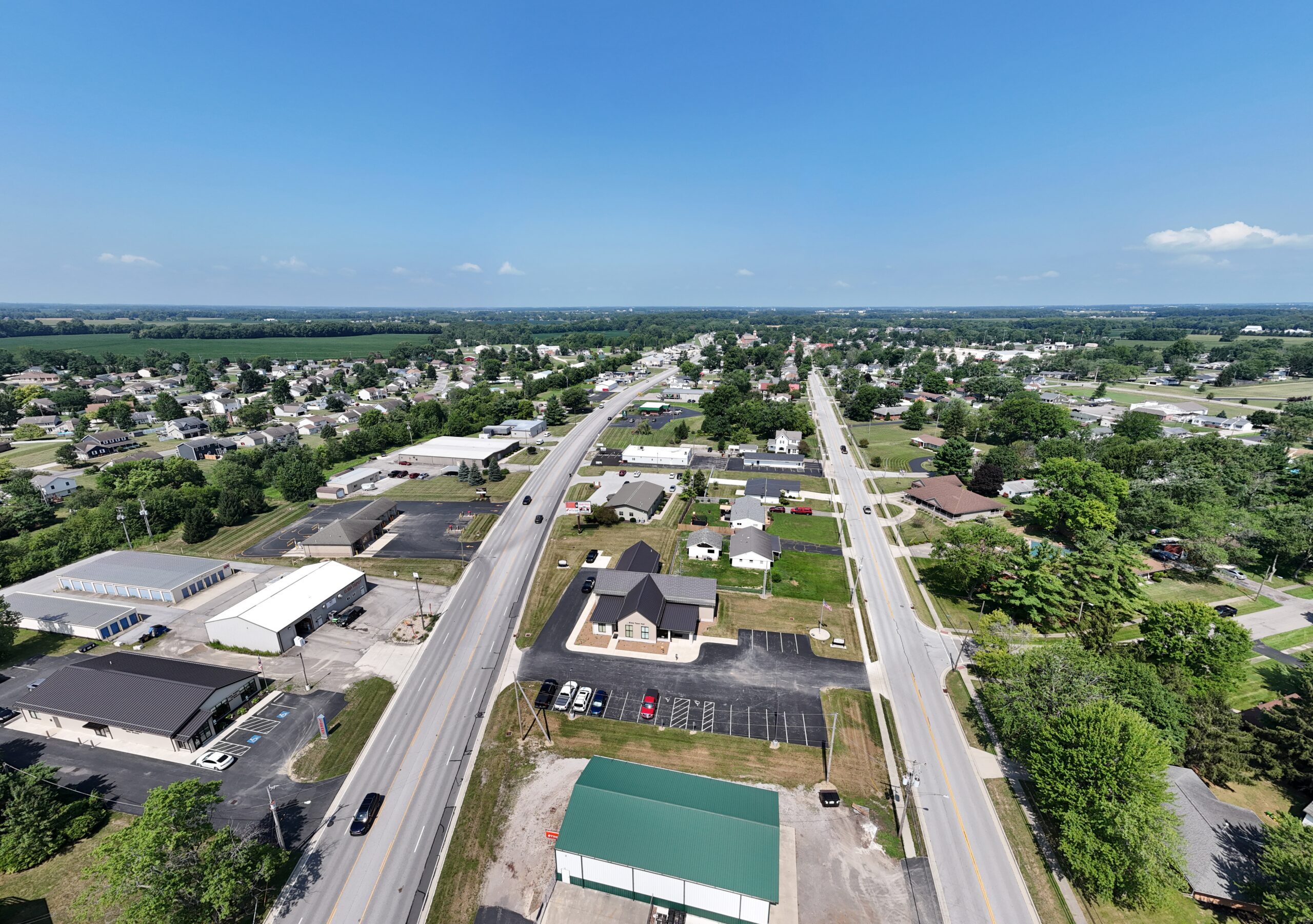
Aerial Map
Imagery of the Village landscape.

Soil Type Map
Details soil classifications useful for agriculture, construction, and drainage planning.

Floodplain Map
Identifies FEMA-designated flood risk areas for zoning and insurance purposes.

Explore the 2040 Comprehensive Plan
For a full, long-term look at the future of Elida, we invite you to view the 2040 Village of Elida Comprehensive Plan. This 168-page document outlines the Village’s goals and strategies through the year 2040, including:
-
- Population trends and projections
- Housing, transportation, and infrastructure planning
- Environmental and open space assessments
- Economic development goals
- Policy recommendations and action plans